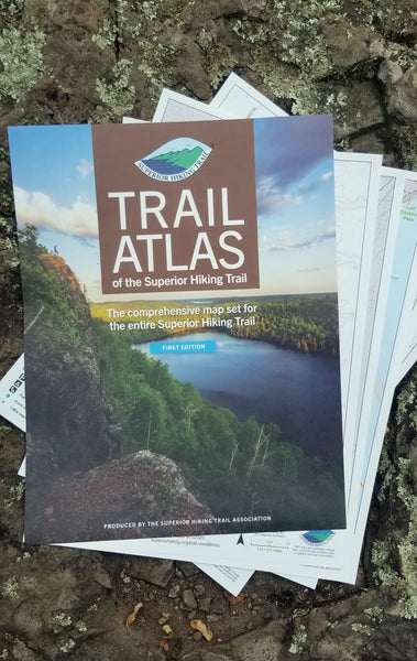
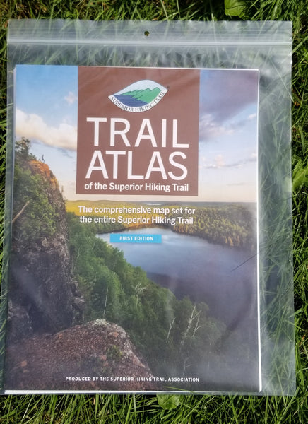
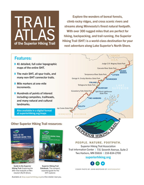
We have sold out of the Trail Atlas. We expect to have updated Atlases back in stock by mid-late April. Our apologies for the inconvenience. The digital version is available if that is of help.
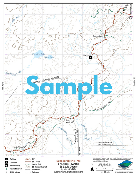
The Trail Atlas includes maps for the Trail’s entire length. Full-color, double-sided 8 ½” x 11” pages show the Trail’s route, the topography of the land, locations of campsites and Trailheads, water features, vista points and more. The maps also include other intersecting trails and roadways you might cross to help orient yourself or use other trails to go into town or walk to a private campground on our Duluth section, for example. The maps provide the perfect bird’s eye view of your adventure. Some people purchase the entire Trail Atlas and take only the section they are hiking that trip to save weight. It’s a very versatile format that allows you to only bring what is necessary.
Also available in a digital format via the mobile Avenza Maps app.
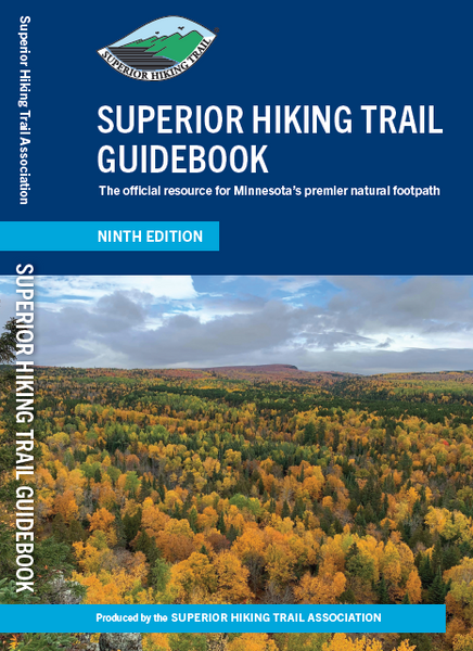
SHT maps and information change often. Check the trail conditions page for updates, trail rules, and data sources at superiorhiking.org/trail-conditions. Cover photo by John Keefover of Keefography.